

-
All
-
Road Safety
-
Transport Design
-
Transport Planning & Development
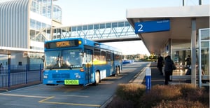
This research reviews the state of school bus safety in New Zealand, and discusses ways to improve it
2024
Read More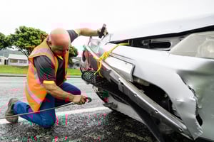
Research to examine how ‘fit for purpose’ alcohol-related crash data and related data are in New Zealand, and to study trends in these crashes and their connection with other factors.
2022
Read More
This research provides best practice for planning, designing and creating walkable communities throughout New Zealand. It outlines a process for deciding on the type of provision that should be made for pedestrians – including those with a wide range of disabilities – and provides design advice and standards.
2021
Read More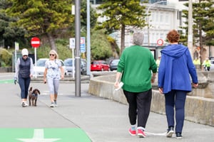
This study for NZ Transport Agency Waka Kotahi identified barriers and motivators to why people choose to walk or not.
2020
Read More
This research investigated if and how the potential effects of small-scale developments should be identified and has provided an opportunity to fully understand if the absence of national guidelines is limiting the opportunity for effective network management and land use planning.
2017
Read More
Framework and methodology for identifying, planning, designing and assessing emergency evacuation routes to support planning and preparedness in the event of a disaster caused by a natural hazard.
2021
Read More
Best practice guidance for local government bodies regarding the development and implementation of road safety management systems in New Zealand and Australia.
2020
Read More
This project tested the application of Infrastructure Risk Rating for Australian roads. The output includes case studies of speed management interventions, and good practice for speed management engagement.
2019
Read More
Best practice guidance for the development or road safety infrastructure programs that align with the Safe System approach.
2019
Read More
Austroads commissioned research to help identify solutions that might be applied on mixed use arterial roads to improve safety through the provision of Safe System infrastructure.
2019
Read More
Alternative intersection layouts may reduce traffic delays and/or improve road safety. Two alternatives are reviewed in this research: ‘priority-controlled Seagull intersections’ and ‘priority-controlled intersections with a Left Turn Slip Lane’.
2019
Read More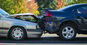
Achieving safe system or vision zero outcomes at high-risk urban intersections, especially priority cross-roads and high-volume traffic signals, is a major challenge for most cities.
2019
Read More
St Kilda Road is Melbourne’s premier boulevard and is one of the busiest tram routes in the world. It also has a high incident of pedestrian and bicycle crashes due to the relatively poor standard of the facilities provided for these users.
2018
Read More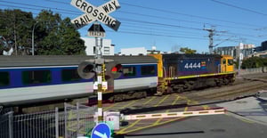
While the number of deaths and injuries at level crossings in New Zealand is relatively low compared with the national road toll and injury burden, the high severity of crashes involving trains makes it a key ‘safe system’ focus.
2019
Read More
In most cities and towns, the majority of crash black-spots occur at major intersections. Crash reduction studies often focus on the major signalised intersections, however, there is limited information that links the phasing configuration, degree of saturation and overall cycle time to crashes.
2012
Read More
Like many large cities, Sydney and Auckland’s busy and high-risk arterials carry the bulk of traffic flows and include a mix of active/vulnerable road users (cyclists/motorcyclists/ pedestrians). Auckland Transport is adopting Vision Zero and understanding vulnerable road user crash risks on such routes can be difficult.
2019
Read More
This report contain all the SPFs/CPMs, AMFs/CMFs and some of the severity factors used in New Zealand. Many of which come from research by Shane Turner and others. The CEC is part of the NZ Economic Evaluation Manual.
2018
Read More