

Evaluating safer speeds with RAC WA and Augusta-Margaret River
At peak tourist season, traffic in the Augusta-Margaret River region in Western Australia increases significantly and, with it, road harm.
The Royal Automobile Club of Western Australia (RAC WA) is committed to advocating for a safer community, including funding projects that support speed changes where required. Recognising the increase in road harm during peak periods, RAC WA engaged Abley to deliver a robust evaluation study to support the introduction of safer speed limits across the region.
Abley’s evaluation approach, combined TomTom data and tube counts, enabling RAC WA to compare data sources and model projected road harm reductions over the next five years.

Developing a robust evaluation approach
RAC WA needed a partner who could combine technical rigour with flexibility. Abley’s road safety engineers and transport analysts verified TomTom data coverage upfront, worked within budget and time constraints and adapted the approach as needed.
Abley also brought integrated communications expertise to the project, helping align public messaging with the evolving data so the community felt involved in the process.
Combining TomTom data with tube counts
Abley was commissioned to undertake a 12-month evaluation.
TomTom data provides full-network coverage, while tube counts provide on-the-ground measurements at a sample of locations. Using the two sources together allowed Abley to cross-check the TomTom data at representative locations and validate the reliability of the probe speed data.
The comparison confirmed that TomTom’s probe data closely reflected actual driving behaviour, giving RAC WA confidence in using it across the broader network. When early data volumes were low, Abley extended the retrospective window of TomTom data to meet the required sample sizes without additional fieldwork, saving time and effort across a large geographic area.
Building a clearer picture of network speeds
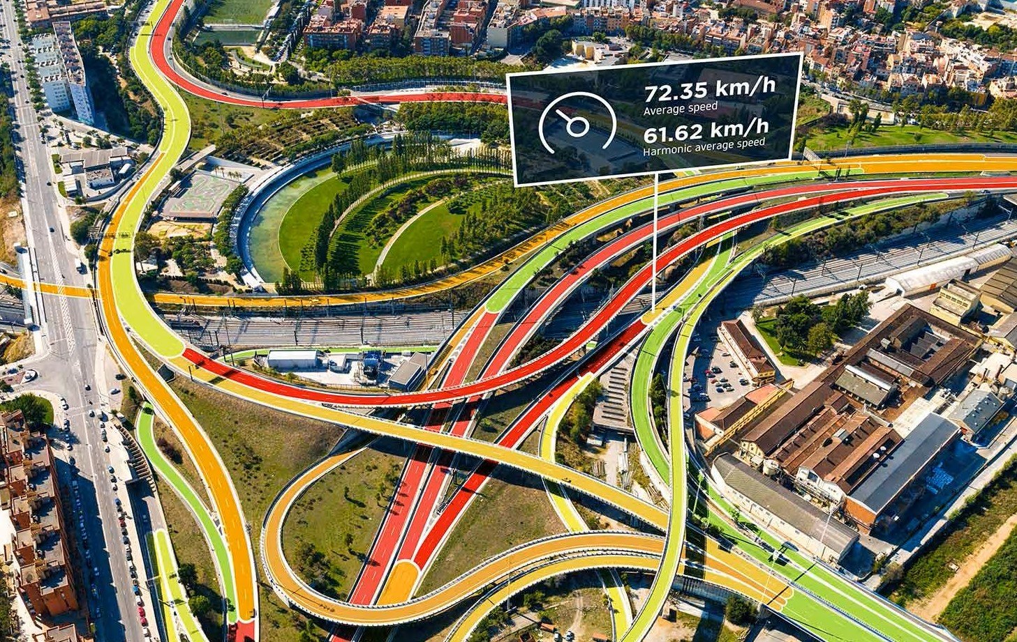
Rather than relying solely on tube count samples, RAC WA gained a complete picture of vehicle speeds across the network.
Using TomTom data meant the team could look back at historical data, increase sample sizes and explore the results in greater detail. This included assessing average speeds, comparing data sources and modelling projected injury reductions for individual corridors.
The result was a more detailed understanding of speeds across the network, supporting a more informed evaluation of the speed management programme.
Get in touch
If you’ve got a question or want to chat to us about how we can help you, contact us.
We look forward to talking with you.