HERE Technology Products
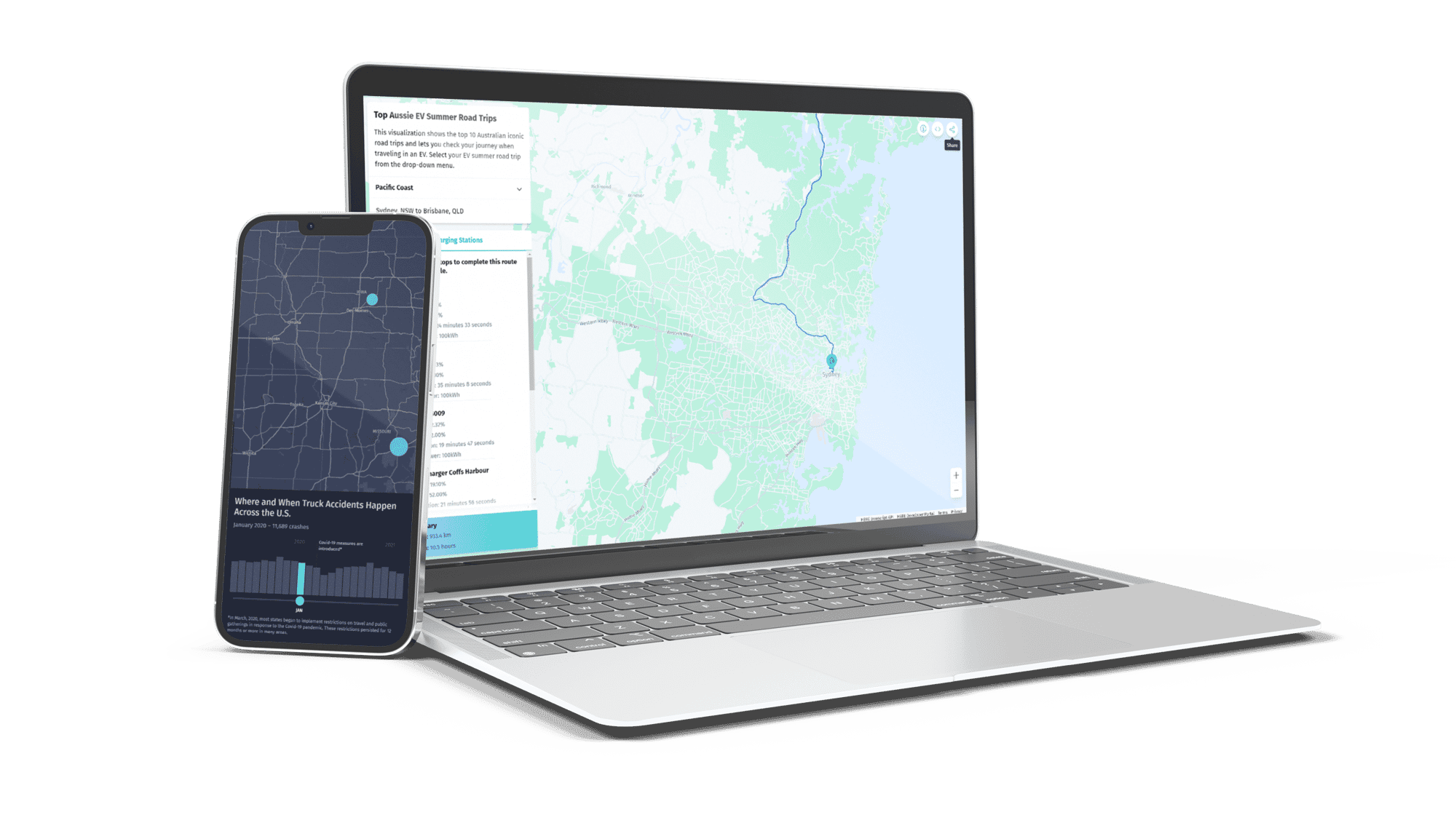
We work with you to optimise and customise HERE products to meet your needs. From comprehensive map data to location services APIs and platform solutions, we sell and support the full range of HERE’s products and solutions.

About HERE Technology Products
Abley is a member of HERE’s global network of partners adding value to HERE’s transport and location data solutions.
The HERE Platform has 3 product groups to accelerate your business:
-
Maps & Data – as the foundation for analysis and building high-quality, dynamic maps using accurate, comprehensive data.
-
Location Services – to create connected journeys for fleets, passengers, and businesses with advanced algorithms. Bringing high-precision location awareness to your apps and devices to improve location accuracy and make journey planning easier.
-
HERE Platform Tools and applications – combine your data with HERE’s using Tools to build custom routing networks, use the HERE Workspace to build and scale location-based products, and build advanced location intelligence and customised maps into your mobile apps with the HERE SDK.

Employ HERE Maps and imagery layers to enrich location-based and mapping applications with visual context. Utilise administrative boundary data to support in-depth planning, effective data aggregation, and strategic analysis, ensuring comprehensive insight and decision-making capabilities.
HERE Location Services streamline access to high-quality location data for organisations. These location services power diverse applications, from vital enterprise functions to basic tasks like geocoding and route finding, facilitating operational efficiency and informed decision-making.
Empower your applications and business operations with robust location capabilities using HERE Platform development tools, data, and content. Unlock the potential for enhanced location-related functionalities to drive efficiency and innovation across your organisation.
HERE Map Data


HERE Location Services for Developers
Access accurate, comprehensive, and interactive maps for your applications, with traditional and customised styles. Utilise raster, maps, and vector tiling APIs for seamless integration and diverse visualisation options.
Develop precise, safe, and efficient routing solutions. Select from various transport modes, optimise with over 100 parameters, generate optimal delivery sequences, and receive real-time estimated time of arrivals using advanced routing algorithms and live traffic data.
Enhance user experiences by incorporating location identification and local search into your solutions. Obtain geocoordinates for addresses, places, and administrative areas, reverse geocode coordinates, search for nearby places, and offer autosuggestions for optimal user engagement.
Elevate travel experiences with real-time data. Ensure drivers arrive safely and punctually by integrating dynamic content APIs into your apps. Select from a range of APIs providing real-time traffic, fuel prices, weather, EV charging locations, and safety cameras.
Utilise HERE's hybrid positioning technology to precisely locate devices, assets, or vehicles. Even in GPS-challenged environments, achieve accurate location fixes leveraging HERE's extensive database of cell IDs, and Wi-Fi access points.
Leverage Public Transit APIs to access transport provider data and HERE's extensive information for comprehensive public transit options, route requests, and commuter-centric data, ensuring seamless door-to-door travel experiences.
Empower your applications and business with HERE's development tools, data, and content for apps. Elevate in-app navigation and routing, access up-to-date global map data offline, and create spatially aware apps tailored to your location requirements.
Contact us today to learn more about HERE Location Services
Learn more about TrafficFlow ›
Learn more about TomTom ›
Learn more about SafeCurves ›
Book a meeting
Empower your team to analyse location data and make smarter business decisions.
Book a chat with Jacob, our data product specialist who will:.
-
Review your specific use case
-
Demonstrate potential data product solutions
-
Answer any questions you might have
Select a day, time and duration that suits you and we'll send you a reminder with all the meeting details.
If you can't find a time/date that suits you on this calendar then contact us and we can organise an alternative for you.
Who we are
Abley is a specialist New Zealand owned transport planning, road safety and geospatial technology company. Founded in 2003, we work with organisations in New Zealand, Australia, Indonesia, U.S., and Canada across central, local government and large organisations.
We develop transport strategies and infrastructure solutions that support safer travel, improved accessibility, and greater mobility for our clients and in turn, their customers.
The products and services that we design leverage our expertise in transport planning, engineering, road safety, location data and geospatial systems.
We are passionate about inspiring positive change.

.png?width=556&height=152&name=Abley_MasterLogo-Website%20(1).png)
.png?width=200&height=55&name=Abley_MasterLogoWhite-Website%20(1).png)